
GuessDash vs GeoGuessr
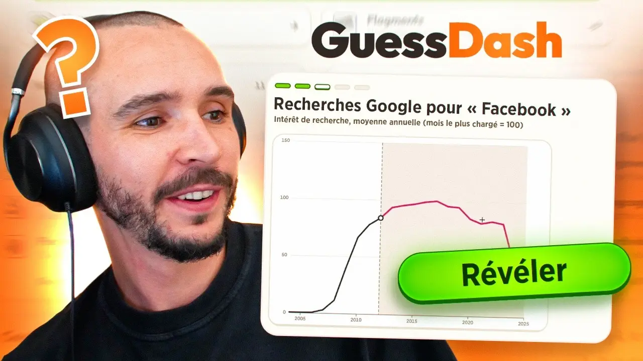
These are not two versions of the same game. GeoGuessr puts you in a street-level panorama and asks where you are. GuessDash mainly asks you to read a map, a flag, a capital, a border, a chart or a record, and DistanCity adds Mapillary street photos. One rewards visual place memory. The other rewards a stack of short factual puzzles.
Side by side
| GuessDash | GeoGuessr | Verification | |
|---|---|---|---|
| Input | Point, draw, drag or type on maps, flags, charts and records; DistanCity uses Mapillary photos | A Google Street View panorama | Official product pages · 1 publisher per product |
| Price | Free, no ads, nothing to buy | Limited free tier. Pro was SGD 7.99 a month, or SGD 4.99 a month billed yearly, on the Singapore page. A higher tier was SGD 13.99 or SGD 6.99 a month yearly. | Official product pages · 1 publisher per product |
| Account | Today’s set needs none | The home page asks you to sign up to play | Official product pages · 1 publisher per product |
| Reset | Midnight in Amsterdam, same puzzles worldwide | A daily challenge. The pages I read do not state the clock | Official product pages · 1 publisher per product |
| Scale | 55 small games | One product with several modes, duels and parties | Official product pages · 1 publisher per product |
| Players | Not published | The home page says “Join 100 million players” | Official product pages · 1 publisher per product |
Which one to open
Open GuessDash if you want a few short puzzles and no account for today. Open GeoGuessr if you want to stand in a street photo and hunt for language, poles, soil and sun. Neither page I read supports a claim that one is harder.
Questions
Is GeoGuessr free?
There is a limited free tier and the home page says no credit card is required to try it. Pro is paid. GuessDash says every game is free and nothing is for sale.
Do they use the same photos?
No. GeoGuessr uses Google Street View. GuessDash’s FAQ names Mapillary for its street-level game and other sources for borders, flags and statistics.
Sources
- tomyourgame gameplay video (figure source) — checked 2026-11-15
- GeoGuessr — checked 2026-11-15
- GeoGuessr pricing — checked 2026-11-15
- MapGame GeoGuessr — checked 2026-11-15
- GuessDash FAQ — checked 2026-11-15
- GuessDash about — checked 2026-11-15